
Delwedd:Map spb 1744 high.jpg
Maint y rhagolwg: 800 × 552 picsel. Eglurdebau eraill: 320 × 221 picsel | 640 × 441 picsel | 1,024 × 706 picsel | 1,280 × 883 picsel | 2,100 × 1,448 picsel.
Maint llawn ((2,100 × 1,448 picsel, maint y ffeil: 741 KB, ffurf MIME: image/jpeg))
Crynodeb
| Disgrifiad |
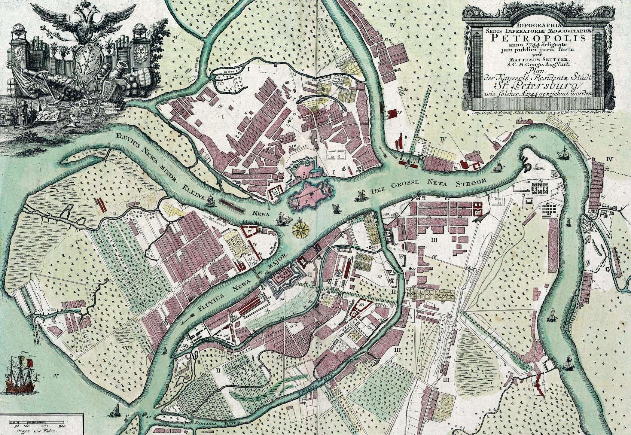
English: Map of St. Petersburg compiled, in 1744, by Matthias Souter Русский: Карта Санкт-Петербурга составленная в 1744 г. Маттиас Сойтер |
| Dyddiad | |
| Ffynhonnell | http://www.spbin.ru/maps/map_stoyter_1744.htm |
| Awdur | Маттиас Сойтер |
Trwyddedu
|
This work is in the public domain in its country of origin and other countries and areas where the copyright term is the author's life plus 100 years or fewer. | |
| Canfyddwyd bod y ffeil yn rhydd o gyfyngiadau yn ôl cyfraith hawlfraint, gan gynnwys pob hawl perthynol a chyfagos. | |
Hanes y ffeil
Cliciwch ar ddyddiad / amser i weld y ffeil fel ag yr oedd bryd hynny.
| Dyddiad / Amser | Bawdlun | Hyd a lled | Defnyddiwr | Sylw | |
|---|---|---|---|---|---|
| cyfredol | 07:47, 25 Mai 2010 | | 2,100 × 1,448 (741 KB) | Peterburg23 | == Summary == {{Information |Description=Карта Санкт-Петербурга составленная в 1744 г. Маттиас Сойтер |Source=http://www.spbin.ru/maps/map_stoyter_1744.htm |Date=1744 |Author=Маттиас Сойтер |Perm |
Cysylltiadau'r ffeil
Nid oes tudalennau'n defnyddio'r ffeil hon.
Defnydd cydwici y ffeil
Mae'r wicis eraill hyn yn defnyddio'r ffeil hon:
- Y defnydd ar azb.wikipedia.org
- Y defnydd ar en.wikipedia.org
- Y defnydd ar gl.wikipedia.org
- Y defnydd ar id.wikipedia.org
- Y defnydd ar io.wikipedia.org
- Y defnydd ar mt.wikipedia.org
- Y defnydd ar pl.wikipedia.org
- Y defnydd ar sl.wikipedia.org
- Y defnydd ar ta.wikipedia.org
- Y defnydd ar te.wikipedia.org
- Y defnydd ar zh.wikipedia.org