
Delwedd:View over Akeld from the south - geograph.org.uk - 1426700.jpg
Wedi ei chwyddo hyd yr eithaf.
View_over_Akeld_from_the_south_-_geograph.org.uk_-_1426700.jpg ((640 × 480 picsel, maint y ffeil: 132 KB, ffurf MIME: image/jpeg))
Crynodeb
| Disgrifiad | |
| Dyddiad | |
| Ffynhonnell | From geograph.org.uk |
| Awdur | Stephen Craven |
| Cydnabyddiaeth (required by the license) | Stephen Craven / View over Akeld from the south / |
| Camera location | | View this and other nearby images on: OpenStreetMap |
|---|
_heading:0.00&language=cy)
| Object location | | View this and other nearby images on: OpenStreetMap |
|---|
_heading:0.00&language=cy)
Trwyddedu

|
This image was taken from the Geograph project collection. See this photograph's page on the Geograph website for the photographer's contact details. The copyright on this image is owned by Stephen Craven and is licensed for reuse under the Creative Commons Attribution-ShareAlike 2.0 license.
|
Trwyddedir y ffeil hon yn ôl termau'r drwydded Creative Commons Attribution-Share Alike 2.0 Generic.
Cydnabyddiaeth: Stephen Craven
- Mae'n rhydd i chi:
- rhannu – gallwch gopïo, dosbarthu a throsglwyddo'r gwaith
- ailwampio – gallwch addasu'r gwaith
- Ar yr amodau canlynol:
- cydnabyddiaeth – Mae'n rhaid i chi nodi manylion y gwaith hwn, rhoi dolen i'r drwydded, a nodi os y bu golygu arni, yn y modd a benwyd gan yr awdur neu'r trwyddedwr (ond heb awgrymu o gwbl eu bod yn eich cymeradwyo chi na'ch defnydd o'r gwaith).
- rhannu ar dermau tebyg – Os byddwch yn addasu'r gwaith hwn, neu yn ei drawsnewid, neu yn adeiladu arno, mae'n rhaid i chi ddosbarthu'r gwaith dan drwydded sy'n union yr un fath same a'r gwreiddiol.
Hanes y ffeil
Cliciwch ar ddyddiad / amser i weld y ffeil fel ag yr oedd bryd hynny.
| Dyddiad / Amser | Bawdlun | Hyd a lled | Defnyddiwr | Sylw | |
|---|---|---|---|---|---|
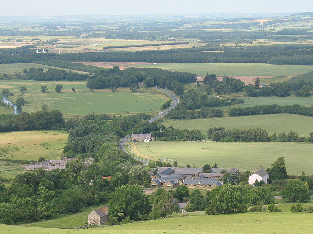
| cyfredol | 21:00, 1 Mawrth 2011 | | 640 × 480 (132 KB) | GeographBot | == {{int:filedesc}} == {{Information |description={{en|1=View over Akeld from the south The large complex of buildings in the foreground of the photo is the country club 1248370, which dominatees the settlement. A little further along the main road i |
Cysylltiadau'r ffeil
Mae'r 1 tudalennau a ddefnyddir isod yn cysylltu i'r ddelwedd hon:
Defnydd cydwici y ffeil
Mae'r wicis eraill hyn yn defnyddio'r ffeil hon:
- Y defnydd ar ceb.wikipedia.org
- Y defnydd ar en.wikipedia.org
- Y defnydd ar fa.wikipedia.org
- Y defnydd ar fr.wikipedia.org
- Y defnydd ar it.wikipedia.org
- Y defnydd ar lld.wikipedia.org
- Y defnydd ar www.wikidata.org
- Y defnydd ar zh-min-nan.wikipedia.org