
Delwedd:Studland, the post office and stores - geograph.org.uk - 1365131.jpg
Wedi ei chwyddo hyd yr eithaf.
Studland,_the_post_office_and_stores_-_geograph.org.uk_-_1365131.jpg ((640 × 480 picsel, maint y ffeil: 79 KB, ffurf MIME: image/jpeg))
Crynodeb
| Disgrifiad |
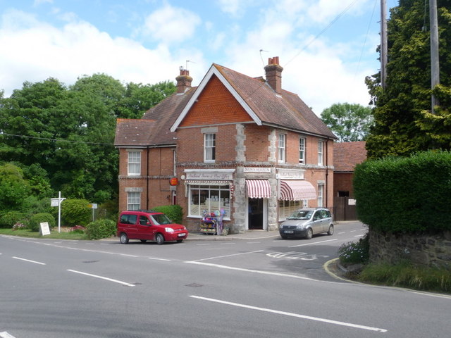
English: Studland: the post office and stores Studland's post office used to be a little uphill from here, behind camera, but relocated about 10 years ago to within the village shop. Such an arrangement probably helps both the office and the shop to survive. |
| Dyddiad | |
| Ffynhonnell | From geograph.org.uk |
| Awdur | Chris Downer |
| Cydnabyddiaeth (required by the license) | Chris Downer / Studland: the post office and stores / |
| Camera location | | View this and other nearby images on: OpenStreetMap |
|---|
_heading:22.00&language=cy)
| Object location | | View this and other nearby images on: OpenStreetMap |
|---|
_heading:22.00&language=cy)
Trwyddedu

|
This image was taken from the Geograph project collection. See this photograph's page on the Geograph website for the photographer's contact details. The copyright on this image is owned by Chris Downer and is licensed for reuse under the Creative Commons Attribution-ShareAlike 2.0 license.
|
Trwyddedir y ffeil hon yn ôl termau'r drwydded Creative Commons Attribution-Share Alike 2.0 Generic.
Cydnabyddiaeth: Chris Downer
- Mae'n rhydd i chi:
- rhannu – gallwch gopïo, dosbarthu a throsglwyddo'r gwaith
- ailwampio – gallwch addasu'r gwaith
- Ar yr amodau canlynol:
- cydnabyddiaeth – Mae'n rhaid i chi nodi manylion y gwaith hwn, rhoi dolen i'r drwydded, a nodi os y bu golygu arni, yn y modd a benwyd gan yr awdur neu'r trwyddedwr (ond heb awgrymu o gwbl eu bod yn eich cymeradwyo chi na'ch defnydd o'r gwaith).
- rhannu ar dermau tebyg – Os byddwch yn addasu'r gwaith hwn, neu yn ei drawsnewid, neu yn adeiladu arno, mae'n rhaid i chi ddosbarthu'r gwaith dan drwydded sy'n union yr un fath same a'r gwreiddiol.
Hanes y ffeil
Cliciwch ar ddyddiad / amser i weld y ffeil fel ag yr oedd bryd hynny.
| Dyddiad / Amser | Bawdlun | Hyd a lled | Defnyddiwr | Sylw | |
|---|---|---|---|---|---|
| cyfredol | 12:32, 28 Chwefror 2011 | | 640 × 480 (79 KB) | GeographBot | == {{int:filedesc}} == {{Information |description={{en|1=Studland: the post office and stores Studland's post office used to be a little uphill from here, behind camera, but relocated about 10 years ago to within the village shop. Such an arrangement prob |
Cysylltiadau'r ffeil
Mae'r 1 tudalennau a ddefnyddir isod yn cysylltu i'r ddelwedd hon:
Defnydd cydwici y ffeil
Mae'r wicis eraill hyn yn defnyddio'r ffeil hon:
- Y defnydd ar ceb.wikipedia.org
- Y defnydd ar en.wikipedia.org
- Y defnydd ar fa.wikipedia.org
- Y defnydd ar fr.wikipedia.org
- Y defnydd ar lld.wikipedia.org
- Y defnydd ar pl.wikipedia.org
- Y defnydd ar sv.wikipedia.org
- Y defnydd ar www.wikidata.org
- Y defnydd ar zh-min-nan.wikipedia.org