
Delwedd:Stroud UK locator map.svg

Maint rhagolwg PNG o ffeil SVG yw: 516 × 600 picsel. Eglurdebau eraill: 206 × 240 picsel | 413 × 480 picsel | 661 × 768 picsel | 881 × 1,024 picsel | 1,762 × 2,048 picsel | 1,089 × 1,266 picsel.
Maint llawn (Ffeil SVG, maint mewn enw 1,089 × 1,266 picsel, maint y ffeil: 1.09 MB)
| Disgrifiad |
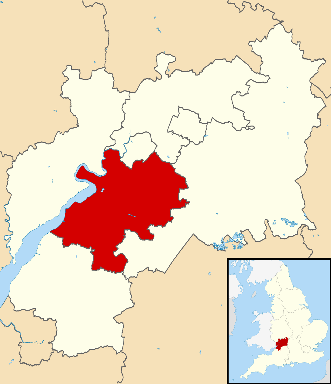
Map of Gloucestershire, UK with Stroud District highlighted. Equirectangular map projection on WGS 84 datum, with N/S stretched 160% |
| Dyddiad | |
| Ffynhonnell |
|
| Awdur | Nilfanion, created using Ordnance Survey data |
| Caniatâd (Ailddefnyddio'r ffeil hon) |
Trwyddedir y ffeil hon yn ôl termau'r drwydded Creative Commons Attribution-Share Alike 3.0 Unported. Cydnabyddiaeth: Contains Ordnance Survey data © Crown copyright and database right
|
Hanes y ffeil
Cliciwch ar ddyddiad / amser i weld y ffeil fel ag yr oedd bryd hynny.
| Dyddiad / Amser | Bawdlun | Hyd a lled | Defnyddiwr | Sylw | |
|---|---|---|---|---|---|
| cyfredol | 12:29, 27 Chwefror 2011 | | 1,089 × 1,266 (1.09 MB) | Nilfanion | {{Information |Description=Map of Gloucestershire, UK with Stroud District highlighted. Equirectangular map projection on WGS 84 datum, with N/S stretched 160% |Source=Ordnance Survey [h |
Cysylltiadau'r ffeil
Mae'r 1 tudalennau a ddefnyddir isod yn cysylltu i'r ddelwedd hon:
Defnydd cydwici y ffeil
Mae'r wicis eraill hyn yn defnyddio'r ffeil hon:
- Y defnydd ar bg.wikipedia.org
- Y defnydd ar en.wikipedia.org
- Y defnydd ar fr.wikipedia.org
- Dursley
- Stroud
- Stroud (district)
- Nailsworth
- Painswick
- Stonehouse (Gloucestershire)
- Wotton-under-Edge
- Randwick (Gloucestershire)
- Liste des paroisses civiles du Gloucestershire
- Cam (Royaume-Uni)
- Modèle:Palette Stroud
- Alderley (Gloucestershire)
- Alkington (Gloucestershire)
- Arlingham
- Woodchester
- Whitminster
- Upton St Leonards
- Uley
- Stinchcombe
- Standish (Gloucestershire)
- Slimbridge
- Rodborough
- Pitchcombe
- Owlpen
- Nympsfield
- North Nibley
- Moreton Valence
- Miserden
- Minchinhampton
- Lypiatt
- Leonard Stanley
- Kingswood (Stroud)
- King's Stanley
- Horsley (Gloucestershire)
- Hinton (Stroud)
- Hillesley and Tresham
- Haresfield
- Harescombe
- Hardwicke (Stroud)
- Hamfallow
- Ham and Stone
- Frocester
- Fretherne with Saul
- Frampton on Severn
- Elmore (Gloucestershire)
- Eastington (Stroud)
- Cranham (Gloucestershire)
Gweld rhagor o'r defnydd cydwici o'r ffeil hon.