
Delwedd:Mount Pleasant Historic Site.jpg
Maint y rhagolwg: 800 × 402 picsel. Eglurdebau eraill: 320 × 161 picsel | 640 × 322 picsel | 1,024 × 515 picsel | 1,280 × 644 picsel | 2,060 × 1,036 picsel.
Maint llawn ((2,060 × 1,036 picsel, maint y ffeil: 416 KB, ffurf MIME: image/jpeg))
|
This is an image of a place or building that is listed on the National Register of Historic Places in the United States of America. Its reference number is 74001536. |
Crynodeb
| Disgrifiad |
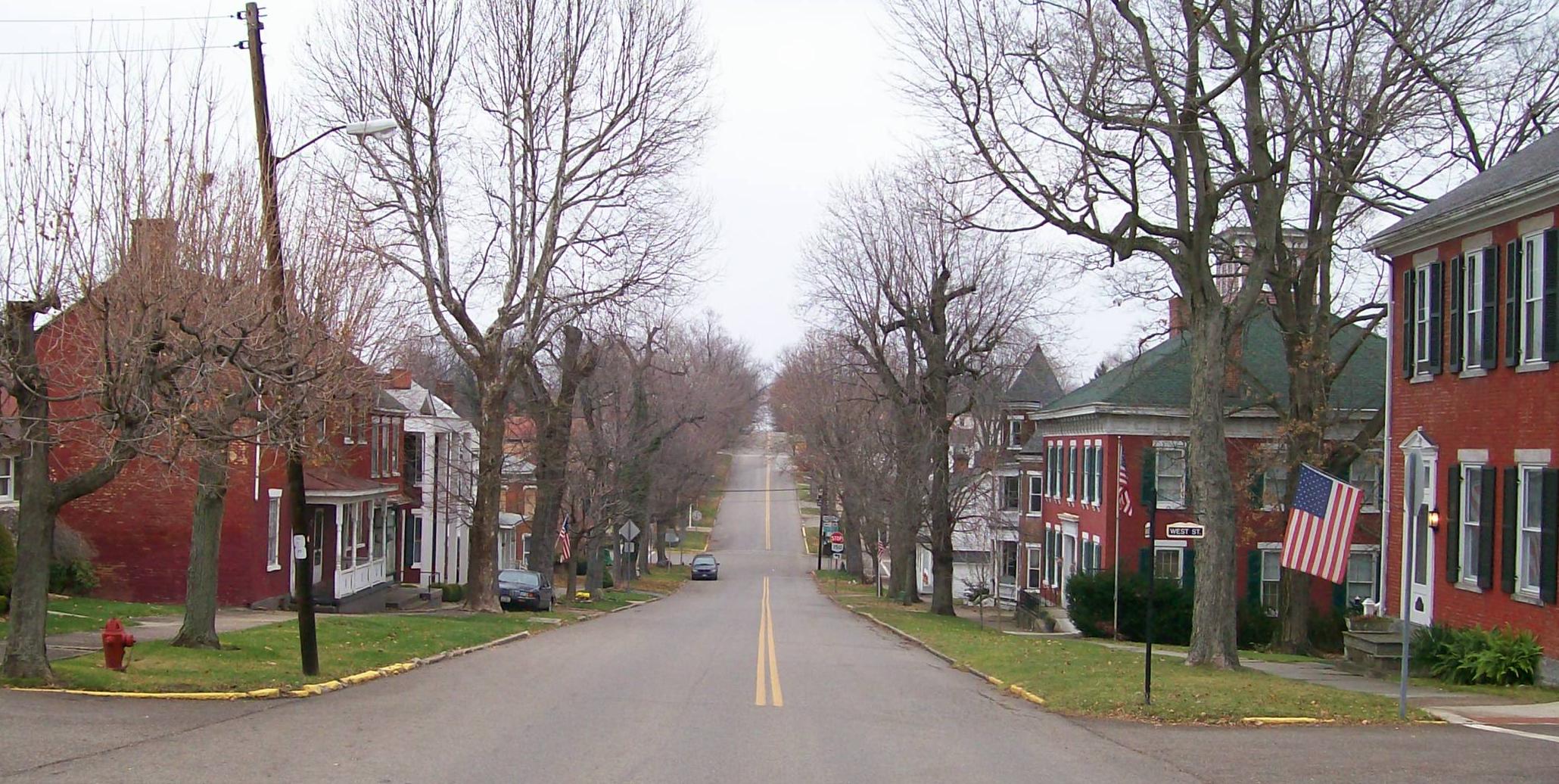
English: The Mount Pleasant Historic District in Ohio looking east along Union Street from its junction with Market Street. The district was added to the National Register of Historic Places in 1974 for national significance in the abolitionist movement including being a stop on the Underground Railroad and intact architectural integrity. Taken on 2009-11-21. |
| Dyddiad | (UTC) |
| Ffynhonnell |
I (Bwsmith84 (talk)) created this work entirely by myself. Transferred from en.wikipedia |
| Awdur | Bwsmith84 (talk) |
| Caniatâd (Ailddefnyddio'r ffeil hon) |
Mae Bwsmith84 at en.wikipedia, deiliad yr hawlfraint ar y gwaith hwn, yn ei gyhoeddi yn ôl termau'r drwydded a ganlyn: Trwyddedir y ffeil hon yn ôl termau'r drwydded Creative Commons Attribution 3.0 Unported. Cydnabyddiaeth: Bwsmith84 at en.wikipedia
|
| Object location | | View this and other nearby images on: OpenStreetMap |
|---|
Cofnod lòg yr uwchlwythiad gwreiddiol
The original description page was here. All following user names refer to en.wikipedia.
- 2009-11-21 22:33 Bwsmith84 2060×1036 (425814 bytes) {{Information |Description = The Mount Plesant Historic Site looking from Market Street to the east. |Source = I (~~~) created this work entirely by myself. |Date = ~~~~~ |Author = ~~~ |other_versions = }}
Hanes y ffeil
Cliciwch ar ddyddiad / amser i weld y ffeil fel ag yr oedd bryd hynny.
| Dyddiad / Amser | Bawdlun | Hyd a lled | Defnyddiwr | Sylw | |
|---|---|---|---|---|---|
| cyfredol | 09:42, 9 Ionawr 2012 | | 2,060 × 1,036 (416 KB) | BotMultichillT | {{BotMoveToCommons|en.wikipedia|year={{subst:CURRENTYEAR}}|month={{subst:CURRENTMONTHNAME}}|day={{subst:CURRENTDAY}}}} == {{int:filedesc}} == {{Information |description={{en|1=The Mount Pleasant Historic District in Ohio looking east along Union Street f |
Cysylltiadau'r ffeil
Mae'r 1 tudalennau a ddefnyddir isod yn cysylltu i'r ddelwedd hon:
Defnydd cydwici y ffeil
Mae'r wicis eraill hyn yn defnyddio'r ffeil hon:
- Y defnydd ar ar.wikipedia.org
- Y defnydd ar ca.wikipedia.org
- Y defnydd ar ceb.wikipedia.org
- Y defnydd ar en.wikipedia.org
- Y defnydd ar es.wikipedia.org
- Y defnydd ar eu.wikipedia.org
- Y defnydd ar fr.wikipedia.org
- Y defnydd ar ht.wikipedia.org
- Y defnydd ar it.wikipedia.org
- Y defnydd ar lld.wikipedia.org
- Y defnydd ar pl.wikipedia.org
- Y defnydd ar pt.wikipedia.org
- Y defnydd ar sh.wikipedia.org
- Y defnydd ar sr.wikipedia.org
- Y defnydd ar uk.wikipedia.org
- Y defnydd ar vi.wikipedia.org
- Y defnydd ar www.wikidata.org
- Y defnydd ar zh-min-nan.wikipedia.org