
Delwedd:Kingdom of Westphalia (1812).svg

Maint rhagolwg PNG o ffeil SVG yw: 450 × 456 picsel. Eglurdebau eraill: 237 × 240 picsel | 474 × 480 picsel | 758 × 768 picsel | 1,011 × 1,024 picsel | 2,021 × 2,048 picsel.
Maint llawn (Ffeil SVG, maint mewn enw 450 × 456 picsel, maint y ffeil: 611 KB)


.svg)
.svg)
.svg)
.svg)
.svg)


.svg)
.svg)
.svg)


.png)
.png)


.svg)


.svg)

.svg)


.svg)
.svg)
.svg)
.svg)


.svg)
.png)


.svg)


.svg)
.svg)


.svg)


.svg)


.svg)
.svg)
.svg)
.svg)
.svg)
.svg)
.svg)
.svg)
_cropped.svg)
.svg)
.svg)
.svg)
.svg)
.svg)
.svg)
.svg)
.svg)
.svg)
.svg)
.svg)
.svg)
.svg)
.svg)
.svg)
.svg)
.svg)
.svg)
.svg)
.svg)
.svg)
.svg)
.svg)
.svg)
.svg)
.svg)
.svg)
.svg)
.svg)
.svg)
.svg)
.svg)
.svg)
.svg)
.svg)
.svg)
.svg)
.svg)
.svg)
.svg)
.svg)
.svg)
.svg)
.svg)
.svg)
Hanes y ffeil
Cliciwch ar ddyddiad / amser i weld y ffeil fel ag yr oedd bryd hynny.
| Dyddiad / Amser | Bawdlun | Hyd a lled | Defnyddiwr | Sylw | |
|---|---|---|---|---|---|
| cyfredol | 23:32, 5 Ionawr 2018 | | 450 × 456 (611 KB) | TRAJAN 117 | +++ |
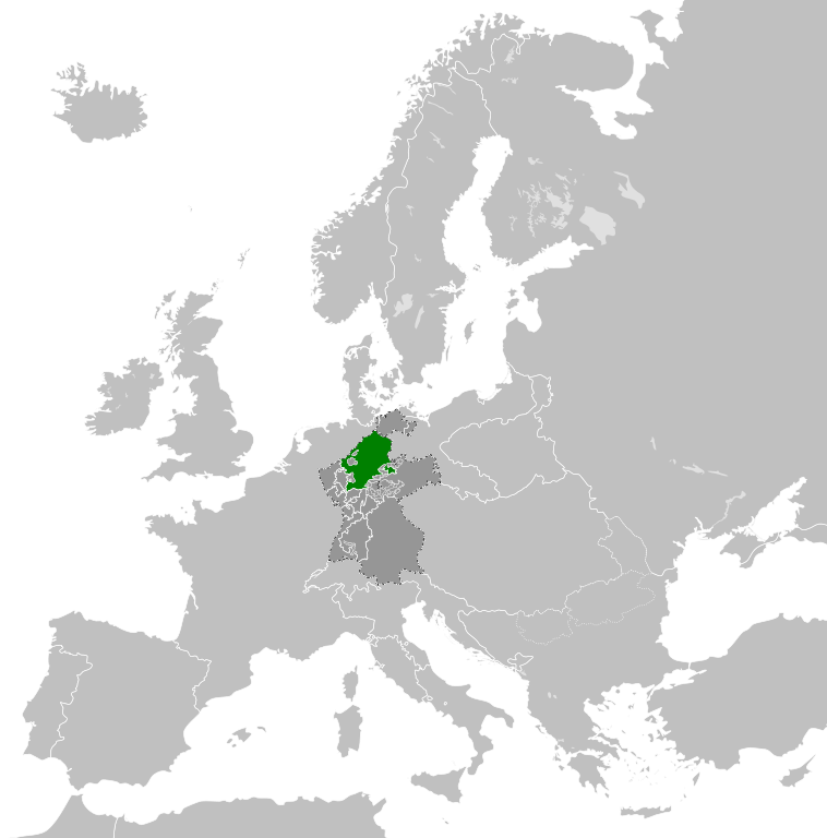
| 19:54, 4 Hydref 2013 |  | 450 × 456 (585 KB) | TRAJAN 117 | {{Information |Description ={{en|1=The Kingdom of Westphalia in 1812.}} |Source ={{own}} {{AttribSVG|Europe 1812.svg|Alphathon}} |Author =TRAJAN 117 {{created with Inkscape}} |Date =2013-10-04 |Permissio... |
Cysylltiadau'r ffeil
Nid oes tudalennau'n defnyddio'r ffeil hon.
Defnydd cydwici y ffeil
Mae'r wicis eraill hyn yn defnyddio'r ffeil hon:
- Y defnydd ar ar.wikipedia.org
- Y defnydd ar ast.wikipedia.org
- Y defnydd ar azb.wikipedia.org
- Y defnydd ar bg.wikipedia.org
- Y defnydd ar cs.wikipedia.org
- Y defnydd ar da.wikipedia.org
- Y defnydd ar de.wikipedia.org
- Y defnydd ar en.wikipedia.org
- Y defnydd ar es.wikipedia.org
- Y defnydd ar fi.wikipedia.org
- Y defnydd ar gv.wikipedia.org
- Y defnydd ar he.wikipedia.org
- Y defnydd ar ja.wikipedia.org
- Y defnydd ar ko.wikipedia.org
- Y defnydd ar mk.wikipedia.org
- Y defnydd ar pl.wikipedia.org
- Y defnydd ar pt.wikipedia.org
- Y defnydd ar ru.wikipedia.org
- Y defnydd ar sh.wikipedia.org
- Y defnydd ar th.wikipedia.org
- Y defnydd ar uk.wikipedia.org
- Y defnydd ar vi.wikipedia.org
- Y defnydd ar www.wikidata.org
- Y defnydd ar zh-yue.wikipedia.org
.svg)