
Delwedd:Isle of Sheppey from Space NASA.jpg
Maint y rhagolwg: 800 × 571 picsel. Eglurdebau eraill: 320 × 228 picsel | 640 × 457 picsel | 1,024 × 731 picsel | 1,163 × 830 picsel.
Maint llawn ((1,163 × 830 picsel, maint y ffeil: 481 KB, ffurf MIME: image/jpeg))
Crynodeb
| Disgrifiad |
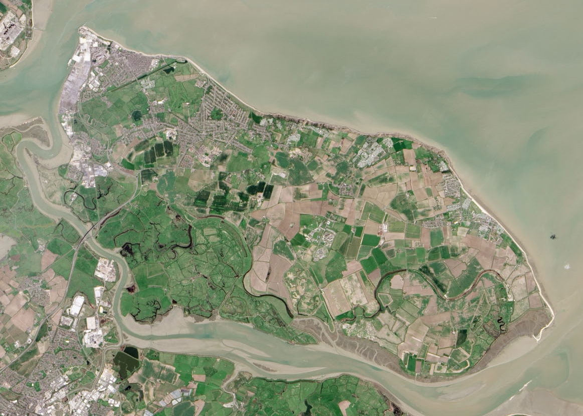
English: Isle of Sheppey as seen by the Operational Land Imager. |
| Dyddiad | |
| Ffynhonnell | Cropped version of File:Thames Estuary and Wind Farms from Space NASA.jpg |
| Awdur | Operational Land Imager |
| Diwygiadau eraill |
 (uncropped version) |
| Camera location | | View this and other nearby images on: OpenStreetMap |
|---|
Trwyddedu
| This file is in the public domain in the United States because it was solely created by NASA. NASA copyright policy states that "NASA material is not protected by copyright unless noted". (See Template:PD-USGov, NASA copyright policy page or JPL Image Use Policy.) | ||
 |
Warnings:
|
Hanes y ffeil
Cliciwch ar ddyddiad / amser i weld y ffeil fel ag yr oedd bryd hynny.
| Dyddiad / Amser | Bawdlun | Hyd a lled | Defnyddiwr | Sylw | |
|---|---|---|---|---|---|
| cyfredol | 21:55, 22 Mehefin 2015 | | 1,163 × 830 (481 KB) | Delusion23 | User created page with UploadWizard |
Cysylltiadau'r ffeil
Nid oes tudalennau'n defnyddio'r ffeil hon.
Defnydd cydwici y ffeil
Mae'r wicis eraill hyn yn defnyddio'r ffeil hon:
- Y defnydd ar cs.wikipedia.org
- Y defnydd ar da.wikipedia.org
- Y defnydd ar en.wikipedia.org
- Y defnydd ar es.wikipedia.org
- Y defnydd ar fy.wikipedia.org
- Y defnydd ar nl.wikipedia.org
- Y defnydd ar no.wikipedia.org
- Y defnydd ar pt.wikipedia.org
- Y defnydd ar sh.wikipedia.org