
Delwedd:India satellite image.png

Maint y rhagolwg: 800 × 592 picsel. Eglurdebau eraill: 320 × 237 picsel | 640 × 474 picsel | 1,024 × 758 picsel | 1,278 × 946 picsel.
Maint llawn ((1,278 × 946 picsel, maint y ffeil: 1.51 MB, ffurf MIME: image/png))
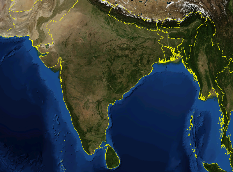
| Disgrifiad | Satellite image of India and surrounding regions | |||
| Dyddiad | ||||
| Ffynhonnell | Gwaith yr uwchlwythwr | |||
| Awdur | Mgiganteus | |||
| Caniatâd (Ailddefnyddio'r ffeil hon) |
|

| Annotations | This image is annotated: View the annotations at Commons |
Hanes y ffeil
Cliciwch ar ddyddiad / amser i weld y ffeil fel ag yr oedd bryd hynny.
| Dyddiad / Amser | Bawdlun | Hyd a lled | Defnyddiwr | Sylw | |
|---|---|---|---|---|---|
| cyfredol | 14:21, 28 Tachwedd 2007 | | 1,278 × 946 (1.51 MB) | Mgiganteus | {{Information |Description=Satellite image of India and surrounding regions |Source=self-made |Date=2007 |Author= Mgiganteus |Permission={{PD-WorldWind}} |other_versions= }} Category:Maps of India Category:South Asia [[Categor |
Cysylltiadau'r ffeil
Mae'r 1 tudalennau a ddefnyddir isod yn cysylltu i'r ddelwedd hon:
Defnydd cydwici y ffeil
Mae'r wicis eraill hyn yn defnyddio'r ffeil hon:
- Y defnydd ar af.wikipedia.org
- Y defnydd ar ar.wikipedia.org
- Y defnydd ar ast.wikipedia.org
- Y defnydd ar ba.wikipedia.org
- Y defnydd ar be-tarask.wikipedia.org
- Y defnydd ar ca.wikipedia.org
- Y defnydd ar diq.wikipedia.org
- Y defnydd ar en.wikipedia.org
- 1932 in India
- 1822 in India
- 1934 in India
- 1937 in India
- 1870 in India
- 1946 in India
- 1911 in India
- 1939 in India
- 1945 in India
- 1943 in India
- 1931 in India
- 1941 in India
- 1857 in India
- 1906 in India
- 1944 in India
- 1930 in India
- 1889 in India
- 1942 in India
- 1874 in India
- 1922 in India
- 1936 in India
- 1905 in India
- 1940 in India
- 1935 in India
- 1921 in India
- 1885 in India
- 1869 in India
- 1875 in India
- 1938 in India
- 1853 in India
- 1818 in India
- 1877 in India
- 1919 in India
- 1861 in India
- 1923 in India
- 1924 in India
- 1925 in India
- 1907 in India
- User talk:Attenboroughii
- 1876 in India
- 1917 in India
- 1914 in India
- 1912 in India
Gweld rhagor o'r defnydd cydwici o'r ffeil hon.