
Delwedd:Chapel St Leonards in 2006.jpg
Chapel_St_Leonards_in_2006.jpg ((640 × 446 picsel, maint y ffeil: 111 KB, ffurf MIME: image/jpeg))
| Disgrifiad |
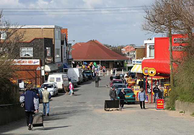
The Pullover at Chapel St Leonards, leading behind to the beach.
Original description: Chapel St Leonards |
| Dyddiad | |
| Ffynhonnell | From geograph.org.uk |
| Awdur | Tony Atkin |
| Caniatâd (Ailddefnyddio'r ffeil hon) |
Creative Commons Attribution Share-alike license 2.0 |
| Camera location | | View this and other nearby images on: OpenStreetMap |
|---|

|
This image was taken from the Geograph project collection. See this photograph's page on the Geograph website for the photographer's contact details. The copyright on this image is owned by Tony Atkin and is licensed for reuse under the Creative Commons Attribution-ShareAlike 2.0 license.
|
- Mae'n rhydd i chi:
- rhannu – gallwch gopïo, dosbarthu a throsglwyddo'r gwaith
- ailwampio – gallwch addasu'r gwaith
- Ar yr amodau canlynol:
- cydnabyddiaeth – Mae'n rhaid i chi nodi manylion y gwaith hwn, rhoi dolen i'r drwydded, a nodi os y bu golygu arni, yn y modd a benwyd gan yr awdur neu'r trwyddedwr (ond heb awgrymu o gwbl eu bod yn eich cymeradwyo chi na'ch defnydd o'r gwaith).
- rhannu ar dermau tebyg – Os byddwch yn addasu'r gwaith hwn, neu yn ei drawsnewid, neu yn adeiladu arno, mae'n rhaid i chi ddosbarthu'r gwaith dan drwydded sy'n union yr un fath same a'r gwreiddiol.
Hanes y ffeil
Cliciwch ar ddyddiad / amser i weld y ffeil fel ag yr oedd bryd hynny.
| Dyddiad / Amser | Bawdlun | Hyd a lled | Defnyddiwr | Sylw | |
|---|---|---|---|---|---|
| cyfredol | 08:37, 17 Mai 2008 | | 640 × 446 (111 KB) | Edward | {{Information |Description=w:Chapel St Leonards Original description: '''Chapel St Leonards''' |Source=From [http://www.geograph.org.uk/photo/154851 geograph.org.uk] |Date=Monday, 17 April, 2006 |Author=[http://www.geograph.org.uk/profile/1324 Ton |
Cysylltiadau'r ffeil
Nid oes tudalennau'n defnyddio'r ffeil hon.
Defnydd cydwici y ffeil
Mae'r wicis eraill hyn yn defnyddio'r ffeil hon:
- Y defnydd ar ca.wikipedia.org
- Y defnydd ar en.wikipedia.org
- Y defnydd ar nl.wikipedia.org
- Y defnydd ar pl.wikipedia.org