
Delwedd:Carte aerienne du robert ShockymapServer.jpg
Wedi ei chwyddo hyd yr eithaf.
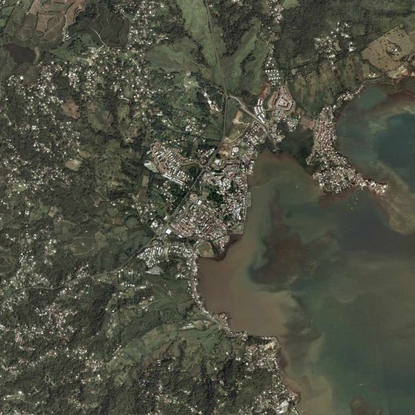
Carte_aerienne_du_robert_ShockymapServer.jpg ((587 × 587 picsel, maint y ffeil: 83 KB, ffurf MIME: image/jpeg))
Crynodeb
| Disgrifiad |
Français : la commune du Le Robert (97231) en Martinique (France). |
| Ffynhonnell | page jaune |
| Awdur | satellite |
Trwyddedu
Hi, this image isn't property of Nasa but IGN (Institut National Géographique et Forestière). This image has been acquired by airplaine and this image was captured from www.pagesjaunes.fr through InterAtlas Shockymap Application, please contact IGN to have the permission to use it.
Regards.
| This file is in the public domain in the United States because it was solely created by NASA. NASA copyright policy states that "NASA material is not protected by copyright unless noted". (See Template:PD-USGov, NASA copyright policy page or JPL Image Use Policy.) | ||
 |
Warnings:
|
Hanes y ffeil
Cliciwch ar ddyddiad / amser i weld y ffeil fel ag yr oedd bryd hynny.
| Dyddiad / Amser | Bawdlun | Hyd a lled | Defnyddiwr | Sylw | |
|---|---|---|---|---|---|
| cyfredol | 11:14, 9 Mawrth 2009 | | 587 × 587 (83 KB) | Lavermeil | {{Information |Description={{fr|1=la commune du robert 97231}} |Source=page jaune |Author=satellite |Date= |Permission= |other_versions= }} <!--{{ImageUpload|full}}--> |
Cysylltiadau'r ffeil
Nid oes tudalennau'n defnyddio'r ffeil hon.
Defnydd cydwici y ffeil
Mae'r wicis eraill hyn yn defnyddio'r ffeil hon:
- Y defnydd ar azb.wikipedia.org
- Y defnydd ar ca.wikipedia.org
- Y defnydd ar ceb.wikipedia.org
- Y defnydd ar ce.wikipedia.org
- Y defnydd ar el.wikipedia.org
- Y defnydd ar en.wikipedia.org
- Y defnydd ar es.wikipedia.org
- Y defnydd ar eu.wikipedia.org
- Y defnydd ar fr.wikipedia.org
- Y defnydd ar fr.wikivoyage.org
- Y defnydd ar he.wikipedia.org
- Y defnydd ar it.wikipedia.org
- Y defnydd ar mzn.wikipedia.org
- Y defnydd ar nl.wikipedia.org
- Y defnydd ar no.wikipedia.org
- Y defnydd ar oc.wikipedia.org
- Y defnydd ar pl.wikipedia.org
- Y defnydd ar pt.wikipedia.org
- Y defnydd ar sh.wikipedia.org
- Y defnydd ar simple.wikipedia.org
- Y defnydd ar sk.wikipedia.org
- Y defnydd ar sr.wikipedia.org
- Y defnydd ar sv.wikipedia.org
- Y defnydd ar sw.wikipedia.org
- Y defnydd ar uk.wikipedia.org
- Y defnydd ar www.wikidata.org
- Y defnydd ar zh.wikipedia.org