
Delwedd:Caversham Park - geograph.org.uk - 616772.jpg
Wedi ei chwyddo hyd yr eithaf.
Caversham_Park_-_geograph.org.uk_-_616772.jpg ((640 × 480 picsel, maint y ffeil: 166 KB, ffurf MIME: image/jpeg))
Crynodeb
| Disgrifiad |
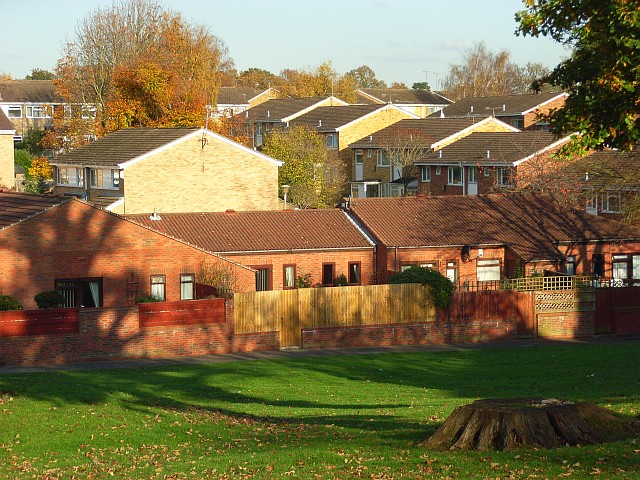
English: Caversham Park The housing estate sometimes goes by the name Caversham Park Village. It is undeniable that this is a misnomer for this bit of suburbia, and the "Village" is omitted by the Ordnance Survey. The estate has retained plenty of green space and trees and is the northeastern extremity of built-up Reading. The line of houses in the centre of the picture is on Harlech Avenue. We see the houses' front aspects which face the public footpath, not the road. |
| Dyddiad | |
| Ffynhonnell | From geograph.org.uk |
| Awdur | Andrew Smith |
| Cydnabyddiaeth (required by the license) | Andrew Smith / Caversham Park / |
| Camera location | | View this and other nearby images on: OpenStreetMap |
|---|
_heading:45.00&language=cy)
| Object location | | View this and other nearby images on: OpenStreetMap |
|---|
_heading:45.00&language=cy)
Trwyddedu

|
This image was taken from the Geograph project collection. See this photograph's page on the Geograph website for the photographer's contact details. The copyright on this image is owned by Andrew Smith and is licensed for reuse under the Creative Commons Attribution-ShareAlike 2.0 license.
|
Trwyddedir y ffeil hon yn ôl termau'r drwydded Creative Commons Attribution-Share Alike 2.0 Generic.
Cydnabyddiaeth: Andrew Smith
- Mae'n rhydd i chi:
- rhannu – gallwch gopïo, dosbarthu a throsglwyddo'r gwaith
- ailwampio – gallwch addasu'r gwaith
- Ar yr amodau canlynol:
- cydnabyddiaeth – Mae'n rhaid i chi nodi manylion y gwaith hwn, rhoi dolen i'r drwydded, a nodi os y bu golygu arni, yn y modd a benwyd gan yr awdur neu'r trwyddedwr (ond heb awgrymu o gwbl eu bod yn eich cymeradwyo chi na'ch defnydd o'r gwaith).
- rhannu ar dermau tebyg – Os byddwch yn addasu'r gwaith hwn, neu yn ei drawsnewid, neu yn adeiladu arno, mae'n rhaid i chi ddosbarthu'r gwaith dan drwydded sy'n union yr un fath same a'r gwreiddiol.
Hanes y ffeil
Cliciwch ar ddyddiad / amser i weld y ffeil fel ag yr oedd bryd hynny.
| Dyddiad / Amser | Bawdlun | Hyd a lled | Defnyddiwr | Sylw | |
|---|---|---|---|---|---|
| cyfredol | 02:10, 7 Chwefror 2011 | | 640 × 480 (166 KB) | GeographBot | == {{int:filedesc}} == {{Information |description={{en|1=Caversham Park The housing estate sometimes goes by the name Caversham Park Village. It is undeniable that this is a misnomer for this bit of suburbia, and the "Village" is omitted by the Ordnance S |
Cysylltiadau'r ffeil
Mae'r 1 tudalennau a ddefnyddir isod yn cysylltu i'r ddelwedd hon:
Defnydd cydwici y ffeil
Mae'r wicis eraill hyn yn defnyddio'r ffeil hon:
- Y defnydd ar ar.wikipedia.org
- Y defnydd ar arz.wikipedia.org
- Y defnydd ar en.wikipedia.org
- Y defnydd ar www.wikidata.org