
Delwedd:Prunella laciniata range map.png
Wedi ei chwyddo hyd yr eithaf.
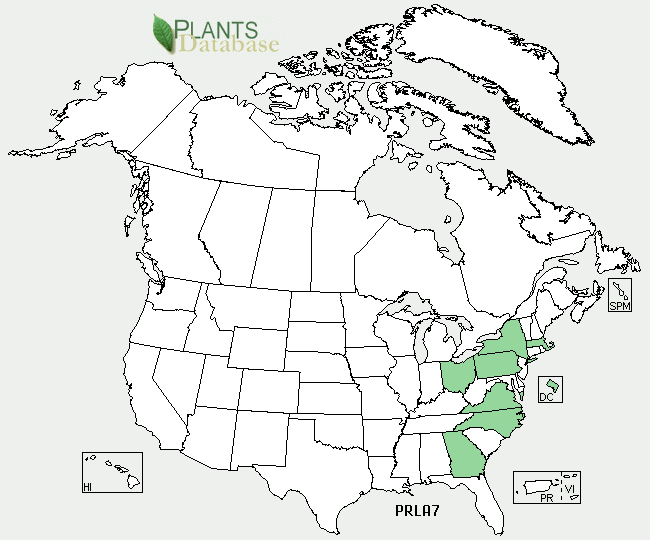
Prunella_laciniata_range_map.png ((650 × 540 picsel, maint y ffeil: 38 KB, ffurf MIME: image/png))
Crynodeb
| Disgrifiad |
English: Prunella laciniata range map |
| Ffynhonnell | http://plants.usda.gov/java/profile?symbol=PRLA7 |
| Awdur | USDA |
Trwyddedu
| This image is a work of the Natural Resources Conservation Service, part of the United States Department of Agriculture, taken or made as part of an employee's official duties. As a work of the U.S. federal government, the image is in the public domain in the United States. |
Cofnod lòg yr uwchlwythiad gwreiddiol
Transferred from en.wikipedia to Commons by Quadell using CommonsHelper.
The original description page was here. All following user names refer to en.wikipedia.
- 2009-12-15 19:50 Ecologygirl 650×540× (38519 bytes) {{Information |Description = Prunella laciniata range map |Source = http://plants.usda.gov/java/profile?symbol=PRLA7 |Date = ~~~~~ |Author = [[USDA]] |Permission = |other_versions = }} == Licensing == {{PD-USGov-U
Hanes y ffeil
Cliciwch ar ddyddiad / amser i weld y ffeil fel ag yr oedd bryd hynny.
| Dyddiad / Amser | Bawdlun | Hyd a lled | Defnyddiwr | Sylw | |
|---|---|---|---|---|---|
| cyfredol | 14:14, 9 Medi 2011 | | 650 × 540 (38 KB) | File Upload Bot (Magnus Manske) | {{BotMoveToCommons|en.wikipedia|year={{subst:CURRENTYEAR}}|month={{subst:CURRENTMONTHNAME}}|day={{subst:CURRENTDAY}}}} {{Information |Description={{en|Prunella laciniata range map}} |Source=Transferred from [http://en.wikipedia.org en.wikipedia]; transfe |
Cysylltiadau'r ffeil
Mae'r 1 tudalennau a ddefnyddir isod yn cysylltu i'r ddelwedd hon:
Defnydd cydwici y ffeil
Mae'r wicis eraill hyn yn defnyddio'r ffeil hon:
- Y defnydd ar ceb.wikipedia.org
- Y defnydd ar en.wikipedia.org
- Y defnydd ar fa.wikipedia.org
- Y defnydd ar vi.wikipedia.org