
Delwedd:North Hertfordshire UK locator map.svg

Maint rhagolwg PNG o ffeil SVG yw: 800 × 557 picsel. Eglurdebau eraill: 320 × 223 picsel | 640 × 446 picsel | 1,024 × 713 picsel | 1,280 × 891 picsel | 2,560 × 1,782 picsel | 1,425 × 992 picsel.
Maint llawn (Ffeil SVG, maint mewn enw 1,425 × 992 picsel, maint y ffeil: 846 KB)
| Disgrifiad |
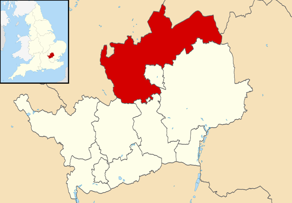
Map of Hertfordshire, UK with North Hertfordshire highlighted. Equirectangular map projection on WGS 84 datum, with N/S stretched 160% |
| Dyddiad | |
| Ffynhonnell |
|
| Awdur | Nilfanion, created using Ordnance Survey data |
| Caniatâd (Ailddefnyddio'r ffeil hon) |
Trwyddedir y ffeil hon yn ôl termau'r drwydded Creative Commons Attribution-Share Alike 3.0 Unported. Cydnabyddiaeth: Contains Ordnance Survey data © Crown copyright and database right
|
Hanes y ffeil
Cliciwch ar ddyddiad / amser i weld y ffeil fel ag yr oedd bryd hynny.
| Dyddiad / Amser | Bawdlun | Hyd a lled | Defnyddiwr | Sylw | |
|---|---|---|---|---|---|
| cyfredol | 22:50, 3 Awst 2011 | | 1,425 × 992 (846 KB) | Nilfanion | {{Information |Description=Map of Hertfordshire, UK with North Hertfordshire highlighted. Equirectangular map projection on WGS 84 datum, with N/S stretched 160% |Source=Ordnance Survey |
Cysylltiadau'r ffeil
Mae'r 1 tudalennau a ddefnyddir isod yn cysylltu i'r ddelwedd hon:
Defnydd cydwici y ffeil
Mae'r wicis eraill hyn yn defnyddio'r ffeil hon:
- Y defnydd ar en.wikipedia.org
- Y defnydd ar es.wikipedia.org
- Y defnydd ar frr.wikipedia.org
- Y defnydd ar fr.wikipedia.org
- Letchworth Garden City
- Hitchin
- Ickleford
- Knebworth
- Baldock
- Royston (Hertfordshire)
- Ashwell (Hertfordshire)
- North Hertfordshire
- St Ippolyts
- Nuthampstead
- Reed (Royaume-Uni)
- Liste des paroisses civiles du Hertfordshire
- Barley (Hertfordshire)
- Barkway
- Modèle:Palette North Hertfordshire
- Bygrave
- Caldecote (Hertfordshire)
- Clothall
- Codicote
- Graveley (Hertfordshire)
- Great Ashby
- Hexton
- Hinxworth
- Holwell (Hertfordshire)
- Kelshall
- Kimpton (Hertfordshire)
- King's Walden
- Langley (Hertfordshire)
- Lilley (Hertfordshire)
- Newnham (Hertfordshire)
- Offley
- Pirton (Hertfordshire)
- Preston (Hertfordshire)
- Radwell (Hertfordshire)
- Rushden (Hertfordshire)
- Sandon (Hertfordshire)
- St Paul's Walden
- Therfield
- Wallington (Hertfordshire)
- Weston (Hertfordshire)
- Wymondley
- Y defnydd ar ja.wikipedia.org
- Y defnydd ar ko.wikipedia.org
- Y defnydd ar no.wikipedia.org
- Y defnydd ar pl.wikipedia.org
Gweld rhagor o'r defnydd cydwici o'r ffeil hon.