
Delwedd:Njmap-0257.png
Maint y rhagolwg: 458 × 599 picsel. Eglurdebau eraill: 183 × 240 picsel | 550 × 719 picsel.
Maint llawn ((550 × 719 picsel, maint y ffeil: 13 KB, ffurf MIME: image/png))
Crynodeb
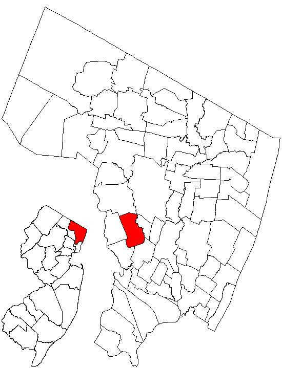
| Disgrifiad |
English: Map showing Saddle Brook within Bergen County, NJ. |
| Dyddiad | 9 Ionawr 2005 (original upload date) |
| Ffynhonnell | Created by Charles O'Reilly from public-domain images at the State of New Jersey Web site. |
| Awdur | CharlieZeb at Saesneg Wicipedia |
Trwyddedu
| This work is ineligible for copyright and therefore in the public domain because it consists entirely of information that is common property and contains no original authorship. |
Cofnod lòg yr uwchlwythiad gwreiddiol
Transferred from en.wikipedia to Commons by Quadell using CommonsHelper.
The original description page was here. All following user names refer to en.wikipedia.
- 2005-01-09 23:23 CharlieZeb 550×719× (13026 bytes) Map showing Saddle Brook within Bergen County, NJ. Created by Charles O'Reilly from public-domain images at the State of New Jersey Web site.
Hanes y ffeil
Cliciwch ar ddyddiad / amser i weld y ffeil fel ag yr oedd bryd hynny.
| Dyddiad / Amser | Bawdlun | Hyd a lled | Defnyddiwr | Sylw | |
|---|---|---|---|---|---|
| cyfredol | 13:59, 17 Gorffennaf 2013 | | 550 × 719 (13 KB) | File Upload Bot (Magnus Manske) | Transfered from en.wikipedia by User:Quadell using CommonsHelper |
Cysylltiadau'r ffeil
Mae'r 1 tudalennau a ddefnyddir isod yn cysylltu i'r ddelwedd hon:
Defnydd cydwici y ffeil
Mae'r wicis eraill hyn yn defnyddio'r ffeil hon:
- Y defnydd ar en.wikipedia.org
- Y defnydd ar fr.wikipedia.org
- Y defnydd ar ht.wikipedia.org
- Y defnydd ar sh.wikipedia.org
- Y defnydd ar sr.wikipedia.org
- Y defnydd ar sv.wikipedia.org
- Y defnydd ar ur.wikipedia.org
- Y defnydd ar www.wikidata.org