
Delwedd:Michigan counties map.gif

Maint y rhagolwg: 528 × 599 picsel. Eglurdebau eraill: 211 × 240 picsel | 423 × 480 picsel | 720 × 817 picsel.
Maint llawn ((720 × 817 picsel, maint y ffeil: 51 KB, ffurf MIME: image/gif))
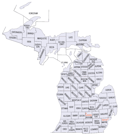
Crynodeb
Produced by US Census Bureau, and taken from [1]
Trwyddedu
This work is in the public domain in the United States because it is a work prepared by an officer or employee of the United States Government as part of that person’s official duties under the terms of Title 17, Chapter 1, Section 105 of the US Code.
Note: This only applies to original works of the Federal Government and not to the work of any individual U.S. state, territory, commonwealth, county, municipality, or any other subdivision. This template also does not apply to postage stamp designs published by the United States Postal Service since 1978. (See § 313.6(C)(1) of Compendium of U.S. Copyright Office Practices). It also does not apply to certain US coins; see The US Mint Terms of Use.
|
 | |
| Canfyddwyd bod y ffeil yn rhydd o gyfyngiadau yn ôl cyfraith hawlfraint, gan gynnwys pob hawl perthynol a chyfagos. | ||
Hanes y ffeil
Cliciwch ar ddyddiad / amser i weld y ffeil fel ag yr oedd bryd hynny.
| Dyddiad / Amser | Bawdlun | Hyd a lled | Defnyddiwr | Sylw | |
|---|---|---|---|---|---|
| cyfredol | 05:54, 25 Ebrill 2010 | | 720 × 817 (51 KB) | AnonMoos | fixing mimetype recognition, cropping |
| 16:26, 25 Ebrill 2007 | Dim bawdlun | (52 KB) | Tompw | Produced by US Census Bureau, and taken from [http://quickfacts.census.gov/qfd/maps/michigan_map.html] |
Cysylltiadau'r ffeil
Mae'r 1 tudalennau a ddefnyddir isod yn cysylltu i'r ddelwedd hon:
Defnydd cydwici y ffeil
Mae'r wicis eraill hyn yn defnyddio'r ffeil hon:
- Y defnydd ar fr.wikipedia.org
- Y defnydd ar he.wikipedia.org
- Y defnydd ar it.wikipedia.org
- Y defnydd ar ja.wikipedia.org
- Y defnydd ar ko.wikipedia.org
- Y defnydd ar nds.wikipedia.org
- Y defnydd ar nl.wikipedia.org
- Y defnydd ar no.wikipedia.org
- Y defnydd ar pt.wikipedia.org
- Y defnydd ar ro.wikipedia.org
- Y defnydd ar sv.wikipedia.org