
Delwedd:Mesopotamia.PNG
Wedi ei chwyddo hyd yr eithaf.
Mesopotamia.PNG ((450 × 364 picsel, maint y ffeil: 198 KB, ffurf MIME: image/png))
Crynodeb
| Disgrifiad |
|
||
| Ffynhonnell | Gwaith yr uwchlwythwr, via en.wikipedia.org | ||
| Awdur | User:Dbachmann |

Trwyddedu
| |
Cafodd y gwaith hwn ei ryddhau i'r parth cyhoeddus gan ei awdur, Dbachmann, at the Saesneg Wicipedia project. Mae hyn yn weithredol ledled y byd. In case this is not legally possible: |
| This image is from Planiglobe. All maps hosted on Planiglobe are licensed under the Creative Commons Attribution 2.5 License, but Planiglobe suggests that they not be used for navigational purposes. For the purposes of this license, this clause is considered a disclaimer and not a license restriction. Trwyddedir y ffeil hon yn ôl termau'r drwydded Creative Commons Attribution 2.5 Generic.
|
Hanes y ffeil
Cliciwch ar ddyddiad / amser i weld y ffeil fel ag yr oedd bryd hynny.
| Dyddiad / Amser | Bawdlun | Hyd a lled | Defnyddiwr | Sylw | |
|---|---|---|---|---|---|
| cyfredol | 17:55, 1 Ionawr 2008 | | 450 × 364 (198 KB) | Mahahahaneapneap | pngcrushed |
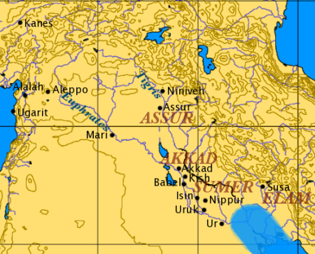
| 17:03, 18 Rhagfyr 2006 |  | 450 × 364 (208 KB) | Electionworld | {{ew|en|Dbachmann}} based on Image:Orient 27 43 22 55 blank map.png. the approximate Bronze Age extent of the Persian Gulf is shown. {{PD}} |
Cysylltiadau'r ffeil
Mae'r 3 tudalennau a ddefnyddir isod yn cysylltu i'r ddelwedd hon:
Defnydd cydwici y ffeil
Mae'r wicis eraill hyn yn defnyddio'r ffeil hon:
- Y defnydd ar ar.wikipedia.org
- Y defnydd ar arz.wikipedia.org
- Y defnydd ar ast.wikipedia.org
- Y defnydd ar bg.wikipedia.org
- Y defnydd ar br.wikipedia.org
- Y defnydd ar ceb.wikipedia.org
- Y defnydd ar de.wiktionary.org
- Y defnydd ar diq.wikipedia.org
- Y defnydd ar en.wikipedia.org
- User:Dimadick
- User:Zdunne
- User:AstroHurricane001/Userboxes
- User:Arash zlord
- User:Comrade Graham
- User:James H. Jenkins
- User:Aus Chia
- User:CsikosLo
- User:LightSpectra/Userboxes
- User:LightSpectra/Userboxes/MS
- User:Garrettw87/Userboxes
- User:Nafsadh
- User:B33k33per
- User:Saukkomies/My userboxes
- User:Assyrio
- User:Fkitselis
- User:Aregakn
- User:HoraceBronte
- User:LordKrump
- User:Aregakn/Russian
- User:Aregakn/German
- User:Ixnix
- User:CanonLawJunkie/Userboxes/Archive/Depository
- User:The Magnakhan
- User:LockTightLobster
- User:Vasko Kelich
- User:Hawkrawkr
- User:Pudge MclameO
- User:Alam567
- User:Byrappa
- User:Nafsadh/Userboxes
- User:FourLights
- User:Avanakapti
- User:Fredrick Cedric Dobbson
- User:Scholarly Breeze
- User:Scholarly Breeze/NavBar
- User:Scholarly Breeze/Userboxes/Template
- User:Scholarly Breeze/Userboxes/Template/Interests
- User:Goodarz Irani
Gweld rhagor o'r defnydd cydwici o'r ffeil hon.