
Delwedd:Fort Bragg California aerial view.jpg
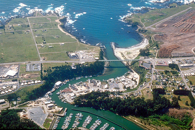
Maint y rhagolwg: 800 × 533 picsel. Eglurdebau eraill: 320 × 213 picsel | 640 × 427 picsel | 1,024 × 683 picsel | 1,500 × 1,000 picsel.
Maint llawn ((1,500 × 1,000 picsel, maint y ffeil: 724 KB, ffurf MIME: image/jpeg))
| Disgrifiad |
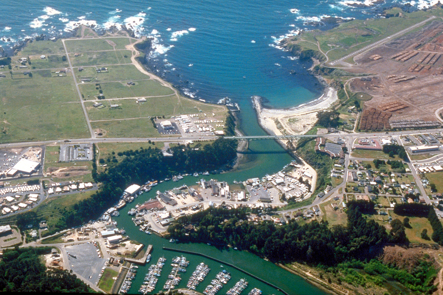
English: Aerial view of the mouth of the Noyo River on the Pacific Ocean at Fort Bragg, Mendocino County, California, USA. California State Route 1 (Main Street in Fort Bragg) crosses the river at the outlet. View is to the west.
Coordinates: 39°25′38.37″N 123°48′24.63″W / 39.427325°N 123.8068417°W |
||
| Dyddiad | not specified or unknown, 2007 or before, but judging by the view and visual of the photo, it appears to be from the mid-late 1990s. | ||
| Ffynhonnell |
U.S. Army Corps of Engineers Digital Visual Library Image page Image description page Digital Visual Library home page |
||
| Awdur | Robert Campbell | ||
| Caniatâd (Ailddefnyddio'r ffeil hon) |
Trwyddedir y ffeil hon yn ôl termau'r drwydded Creative Commons Attribution-Share Alike 3.0 Unported.
|
||
| Lleoliad | Fort Bragg, Mendocino County, California, USA |

| Camera location | | View this and other nearby images on: OpenStreetMap |
|---|
Hanes y ffeil
Cliciwch ar ddyddiad / amser i weld y ffeil fel ag yr oedd bryd hynny.
| Dyddiad / Amser | Bawdlun | Hyd a lled | Defnyddiwr | Sylw | |
|---|---|---|---|---|---|
| cyfredol | 03:20, 3 Mai 2007 | | 1,500 × 1,000 (724 KB) | DanMS | {{Information | Description = {{en|Aerial view of the mouth of the Noyo River on the Pacific Ocean at Fort Bragg, Mendocino County, California, USA. California State Route 1 (Main Street in Fort Bragg) crosses the river at the outlet. View is to the we |
Cysylltiadau'r ffeil
Mae'r 1 tudalennau a ddefnyddir isod yn cysylltu i'r ddelwedd hon:
Defnydd cydwici y ffeil
Mae'r wicis eraill hyn yn defnyddio'r ffeil hon:
- Y defnydd ar ar.wikipedia.org
- Y defnydd ar arz.wikipedia.org
- Y defnydd ar az.wikipedia.org
- Y defnydd ar be.wikipedia.org
- Y defnydd ar bg.wikipedia.org
- Y defnydd ar ca.wikipedia.org
- Y defnydd ar ceb.wikipedia.org
- Y defnydd ar ce.wikipedia.org
- Y defnydd ar cs.wikipedia.org
- Y defnydd ar de.wikipedia.org
- Y defnydd ar de.wikivoyage.org
- Y defnydd ar en.wikipedia.org
- Y defnydd ar en.wikivoyage.org
- Y defnydd ar eo.wikipedia.org
- Y defnydd ar es.wikipedia.org
- Y defnydd ar eu.wikipedia.org
- Y defnydd ar fa.wikipedia.org
- Y defnydd ar fi.wikipedia.org
- Y defnydd ar fr.wikipedia.org
- Y defnydd ar ga.wikipedia.org
- Y defnydd ar gl.wikipedia.org
- Y defnydd ar he.wikivoyage.org
- Y defnydd ar ht.wikipedia.org
- Y defnydd ar hu.wikipedia.org
- Y defnydd ar hy.wikipedia.org
- Y defnydd ar it.wikipedia.org
- Y defnydd ar ko.wikipedia.org
- Y defnydd ar la.wikipedia.org
Gweld rhagor o'r defnydd cydwici o'r ffeil hon.