
Delwedd:Church of St John the Baptist and the Seven Maccabees, Cookbury - geograph.org.uk - 513843.jpg
Wedi ei chwyddo hyd yr eithaf.
Church_of_St_John_the_Baptist_and_the_Seven_Maccabees,_Cookbury_-_geograph.org.uk_-_513843.jpg ((640 × 472 picsel, maint y ffeil: 97 KB, ffurf MIME: image/jpeg))
This is a photo of listed building number 1162728. |
Crynodeb
| Disgrifiad |
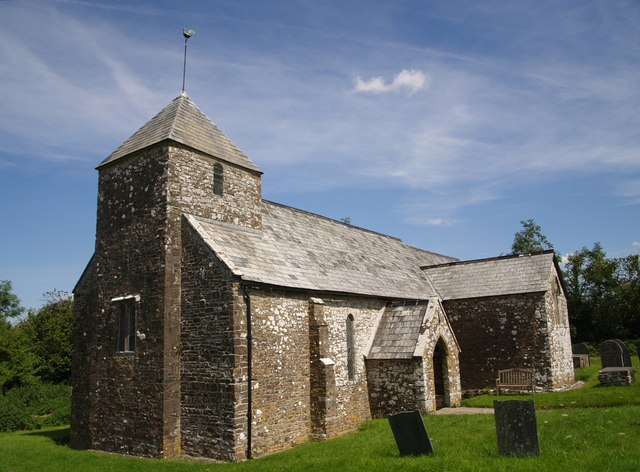
English: Chapel of St John the Baptist and the Seven Maccabees, Cookbury, Devon, seen from the southwest |
| Dyddiad | |
| Ffynhonnell | From geograph.org.uk |
| Awdur | Derek Harper |
| Cydnabyddiaeth (required by the license) | Derek Harper / Church of St John the Baptist and the Seven Maccabees, Cookbury / |
| Camera location | | View this and other nearby images on: OpenStreetMap |
|---|
_heading:67.00&language=cy)
| Object location | | View this and other nearby images on: OpenStreetMap |
|---|
_heading:67.00&language=cy)
Trwyddedu

|
This image was taken from the Geograph project collection. See this photograph's page on the Geograph website for the photographer's contact details. The copyright on this image is owned by Derek Harper and is licensed for reuse under the Creative Commons Attribution-ShareAlike 2.0 license.
|
Trwyddedir y ffeil hon yn ôl termau'r drwydded Creative Commons Attribution-Share Alike 2.0 Generic.
Cydnabyddiaeth: Derek Harper
- Mae'n rhydd i chi:
- rhannu – gallwch gopïo, dosbarthu a throsglwyddo'r gwaith
- ailwampio – gallwch addasu'r gwaith
- Ar yr amodau canlynol:
- cydnabyddiaeth – Mae'n rhaid i chi nodi manylion y gwaith hwn, rhoi dolen i'r drwydded, a nodi os y bu golygu arni, yn y modd a benwyd gan yr awdur neu'r trwyddedwr (ond heb awgrymu o gwbl eu bod yn eich cymeradwyo chi na'ch defnydd o'r gwaith).
- rhannu ar dermau tebyg – Os byddwch yn addasu'r gwaith hwn, neu yn ei drawsnewid, neu yn adeiladu arno, mae'n rhaid i chi ddosbarthu'r gwaith dan drwydded sy'n union yr un fath same a'r gwreiddiol.
Hanes y ffeil
Cliciwch ar ddyddiad / amser i weld y ffeil fel ag yr oedd bryd hynny.
| Dyddiad / Amser | Bawdlun | Hyd a lled | Defnyddiwr | Sylw | |
|---|---|---|---|---|---|
| cyfredol | 12:13, 5 Chwefror 2011 | | 640 × 472 (97 KB) | GeographBot | == {{int:filedesc}} == {{Information |description={{en|1=Church of St John the Baptist and the Seven Maccabees, Cookbury A view of 512571 from the southwest. Cherry and Pevsner comment on the unusual shape of the small tower, with its north and south |
Cysylltiadau'r ffeil
Nid oes tudalennau'n defnyddio'r ffeil hon.
Defnydd cydwici y ffeil
Mae'r wicis eraill hyn yn defnyddio'r ffeil hon:
- Y defnydd ar en.wikipedia.org
- Y defnydd ar it.wikipedia.org
- Y defnydd ar nl.wikipedia.org
- Y defnydd ar www.wikidata.org