
Delwedd:Belle-terre-map.png
Wedi ei chwyddo hyd yr eithaf.
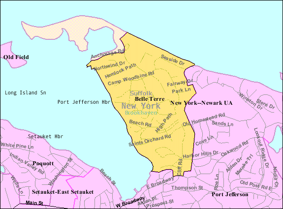
Belle-terre-map.png ((575 × 425 picsel, maint y ffeil: 35 KB, ffurf MIME: image/png))
| Disgrifiad | |
| Dyddiad | |
| Ffynhonnell | http://factfinder.census.gov |
| Awdur | United States Census Bureau |
| Caniatâd (Ailddefnyddio'r ffeil hon) |
Public domain |
Trwyddedu
This image or file is a work of a United States Census Bureau employee, taken or made as part of that person's official duties. As a work of the U.S. federal government, the image is in the public domain.
|
 |
Cofnod lòg yr uwchlwythiad gwreiddiol
The original description page was here. All following user names refer to en.wikipedia.
- 2007-11-28 02:17 Americasroof 575×425× (36454 bytes) [[Bellerose Terrace, New York]] from U.S. Census
- 2007-11-19 23:52 Americasroof 575×425× (36454 bytes) [[Belle Terre, New York]] map from U.S. Census
Cofnod lòg yr uwchlwythiad gwreiddiol
| Dyddiad / Amser | Hyd a lled | Defnyddiwr | Sylw |
|---|---|---|---|
| 23 Awst 2013, 04:57:28 | 575 × 425 (36454 bytes) | Dcirovic (sgwrs · cyfraniadau) | {{Information |Description={{en|[[:en:U.S. Census 2000|]] reference map for [[:en:Belle Terre, New York|]]}} |Source=Transferred from [http://en.wikipedia.org en.wikipedia]<br/> (Original text : ''http://factfinder.census.gov'') |Date=2007<br/> ({{Orig... |
Hanes y ffeil
Cliciwch ar ddyddiad / amser i weld y ffeil fel ag yr oedd bryd hynny.
| Dyddiad / Amser | Bawdlun | Hyd a lled | Defnyddiwr | Sylw | |
|---|---|---|---|---|---|
| cyfredol | 01:09, 24 Awst 2014 | | 575 × 425 (35 KB) | GifTagger | Bot: Converting file to superior PNG file. (Source: Belle-terre-map.gif). This GIF was problematic due to non-greyscale color table. |
Cysylltiadau'r ffeil
Mae'r 1 tudalennau a ddefnyddir isod yn cysylltu i'r ddelwedd hon:
Defnydd cydwici y ffeil
Mae'r wicis eraill hyn yn defnyddio'r ffeil hon:
- Y defnydd ar ar.wikipedia.org
- Y defnydd ar ca.wikipedia.org
- Y defnydd ar en.wikipedia.org
- Y defnydd ar es.wikipedia.org
- Y defnydd ar eu.wikipedia.org
- Y defnydd ar fr.wikipedia.org
- Y defnydd ar ht.wikipedia.org
- Y defnydd ar sh.wikipedia.org
- Y defnydd ar sr.wikipedia.org
- Y defnydd ar www.wikidata.org