
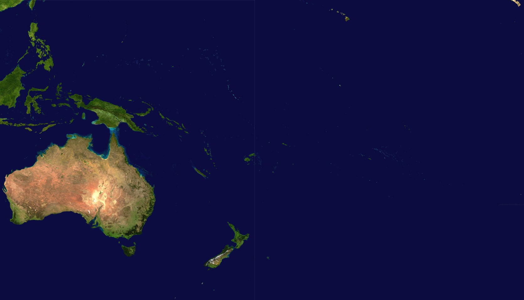
Delwedd:Oceania satellite.jpg
Maint y rhagolwg: 800 × 458 picsel. Eglurdebau eraill: 320 × 183 picsel | 640 × 367 picsel | 1,024 × 587 picsel | 1,670 × 957 picsel.
Maint llawn ((1,670 × 957 picsel, maint y ffeil: 111 KB, ffurf MIME: image/jpeg))
source: http://visibleearth.nasa.gov/images/2433/land_shallow_topo_21600.tif archive copy at the Wayback Machine
| This file is in the public domain in the United States because it was solely created by NASA. NASA copyright policy states that "NASA material is not protected by copyright unless noted". (See Template:PD-USGov, NASA copyright policy page or JPL Image Use Policy.) | ||
 |
Warnings:
|
Hanes y ffeil
Cliciwch ar ddyddiad / amser i weld y ffeil fel ag yr oedd bryd hynny.
| Dyddiad / Amser | Bawdlun | Hyd a lled | Defnyddiwr | Sylw | |
|---|---|---|---|---|---|
| cyfredol | 18:54, 14 Mehefin 2023 | | 1,670 × 957 (111 KB) | Treetoes023 | Didn't work the first time so I'm trying again. |
| 18:46, 14 Mehefin 2023 |  | 1,664 × 961 (111 KB) | Treetoes023 | Zoomed in image to remove unnecessary areas outside of Oceania. | |
| 08:05, 19 Awst 2005 |  | 2,349 × 1,155 (755 KB) | っ | source: http://visibleearth.nasa.gov/images/2433/land_shallow_topo_21600.tif {{PD-USGov-NASA}} Category:Maps of Oceania Oceania |
Cysylltiadau'r ffeil
Mae'r 1 tudalennau a ddefnyddir isod yn cysylltu i'r ddelwedd hon:
Defnydd cydwici y ffeil
Mae'r wicis eraill hyn yn defnyddio'r ffeil hon:
- Y defnydd ar af.wikipedia.org
- Y defnydd ar ar.wikipedia.org
- Y defnydd ar ar.wikinews.org
- Y defnydd ar arz.wikipedia.org
- Y defnydd ar ast.wikipedia.org
- Y defnydd ar ba.wikipedia.org
- Y defnydd ar ca.wikipedia.org
- Y defnydd ar cdo.wikipedia.org
- Y defnydd ar co.wikipedia.org
- Y defnydd ar crh.wikipedia.org
- Y defnydd ar cs.wikipedia.org
- Y defnydd ar de.wikipedia.org
- Y defnydd ar el.wikipedia.org
- Y defnydd ar en.wikipedia.org
- Y defnydd ar eo.wikipedia.org
- Y defnydd ar es.wikipedia.org
- Y defnydd ar es.wikivoyage.org
- Y defnydd ar et.wikipedia.org
- Y defnydd ar fiu-vro.wikipedia.org
- Y defnydd ar fi.wikipedia.org
- Y defnydd ar fo.wikipedia.org
- Y defnydd ar fr.wikipedia.org
Gweld rhagor o'r defnydd cydwici o'r ffeil hon.