
Delwedd:LocationOceans.png
Maint y rhagolwg: 800 × 407 picsel. Eglurdebau eraill: 320 × 163 picsel | 640 × 326 picsel | 1,024 × 521 picsel | 1,280 × 651 picsel | 2,759 × 1,404 picsel.
Maint llawn ((2,759 × 1,404 picsel, maint y ffeil: 55 KB, ffurf MIME: image/png))

|
This locator map image could be re-created using vector graphics as an SVG file. This has several advantages; see Commons:Media for cleanup for more information. If an SVG form of this image is available, please upload it and afterwards replace this template with
{{vector version available|new image name}}.
It is recommended to name the SVG file “LocationOceans.svg”—then the template Vector version available (or Vva) does not need the new image name parameter. |
Crynodeb
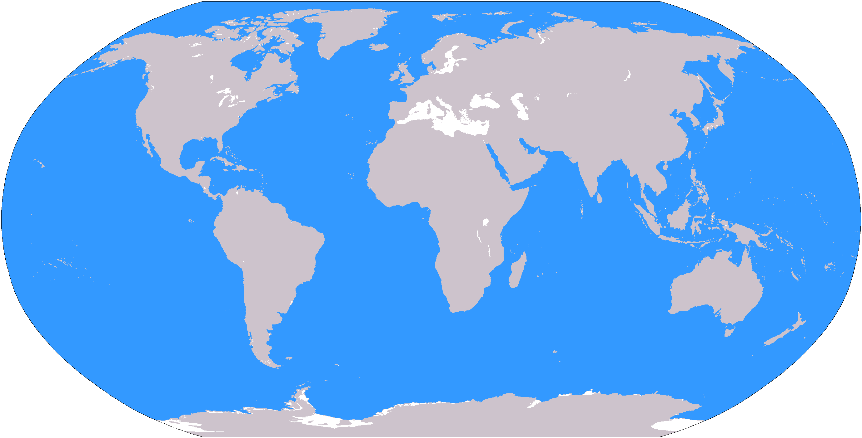
The large plain-grey Image:LocationWorld.png map modified to show oceanic areas in blue.
Trwyddedu
This image is in the public domain because it contains materials that originally came from the United States Central Intelligence Agency's World Factbook.
|
 |
Hanes y ffeil
Cliciwch ar ddyddiad / amser i weld y ffeil fel ag yr oedd bryd hynny.
| Dyddiad / Amser | Bawdlun | Hyd a lled | Defnyddiwr | Sylw | |
|---|---|---|---|---|---|
| cyfredol | 19:26, 8 Mawrth 2006 | | 2,759 × 1,404 (55 KB) | David Kernow~commonswiki | The large plain-grey Image:LocationWorld.png map modified to show oceanic areas in blue. |
Cysylltiadau'r ffeil
Mae'r 46 tudalennau a ddefnyddir isod yn cysylltu i'r ddelwedd hon:
- Affrica
- America Ladin
- Asia
- Asia-Cefnfor Tawel
- Awstralasia
- Canolbarth Affrica
- Canolbarth America
- Canolbarth Asia
- Canolbarth Ewrop
- Cefnfor
- Cefnfor India
- Cefnfor y Byd
- Cefnfor y De
- Cefnfor yr Arctig
- Cyfandir
- De-ddwyrain Asia
- De-orllewin Asia
- De Affrica (rhanbarth)
- De America
- De Asia
- De Ddwyrain Ewrop
- Dwyrain Affrica
- Dwyrain Asia
- Dwyrain Ewrop
- Ewrop
- Gogledd Affrica
- Gogledd America
- Gogledd Asia
- Gogledd Ewrop
- Gorllewin Affrica
- Gorllewin Ewrop
- Indo-Tsieina
- Isgyfandir India
- Melanesia
- Oceania
- Pegynau'r Ddaear
- Polynesia
- Rhanbarth
- Y Caribî
- Y Cefnfor Tawel
- Y Dwyrain Canol
- Y Dwyrain Pell
- Yr Amerig
- Yr Antarctig
- Yr Arctig
- Nodyn:Rhanbarthau'r Ddaear
Defnydd cydwici y ffeil
Mae'r wicis eraill hyn yn defnyddio'r ffeil hon:
- Y defnydd ar af.wikipedia.org
- Australasië
- Midde-Ooste
- Sentraal-Amerika
- Atlantiese Oseaan
- Suider-Afrika
- Indiese Oseaan
- Suidelike Oseaan
- Arktiese Oseaan
- Stille Oseaan
- Latyns-Amerika
- Oos-Asië
- Sjabloon:Gebiede van die wêreld
- Noord-Europa
- Melanesië
- Mikronesië
- Polinesië
- Oos-Afrika
- Wes-Afrika
- Noord-Afrika
- Oos-Europa
- Verre Ooste
- Sentraal-Afrika
- Afrika suid van die Sahara
- Seelandië
- Noordpoolgebied
- Karibiese gebied
- Indiese subkontinent
- Suidoos-Asië
- Wes-Asië
- Wes-Europa
- Suid-Europa
- Suid-Asië
- Sentraal-Asië
- Sentraal-Europa
- Suidoos-Europa
- Noord-Asië
- Y defnydd ar ar.wikipedia.org
Gweld rhagor o'r defnydd cydwici o'r ffeil hon.