
Delwedd:Drenthe position.svg

Maint rhagolwg PNG o ffeil SVG yw: 200 × 236 picsel. Eglurdebau eraill: 203 × 240 picsel | 407 × 480 picsel | 651 × 768 picsel | 868 × 1,024 picsel | 1,736 × 2,048 picsel.
Maint llawn (Ffeil SVG, maint mewn enw 200 × 236 picsel, maint y ffeil: 157 KB)
Crynodeb
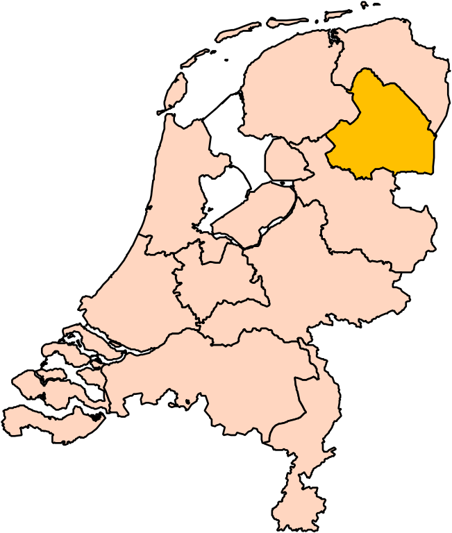
| Disgrifiad | Location of the province of Drenthe in the Netherlands. |
| Dyddiad | |
| Ffynhonnell | Own work, based on freely available GIS data |
| Awdur | User:Mtcv |
| Caniatâd (Ailddefnyddio'r ffeil hon) |
Data: attribution required; my work: PD |
| Diwygiadau eraill | I attempted to make an svg version of Image:Drente-Position.png (with less simplified boundaries) |
Clickable version

Trwyddedu

|
Mae deiliad hawlfraint y ffeil hon, sef Centraal Bureau voor de Statistiek, yn caniatáu i unrhyw un ei defnyddio i unrhyw bwrpas, ar yr amod bod deiliad yr hawlfraint yn cael ei gydnabod yn iawn. Mae ailddosbarthu, gwaith deilliadol, defnydd masnachol, a phob defnydd arall yn cael ei ganiatáu. |
Cydnabyddiaeth:
|
| Annotations | This image is annotated: View the annotations at Commons |


Hanes y ffeil
Cliciwch ar ddyddiad / amser i weld y ffeil fel ag yr oedd bryd hynny.
| Dyddiad / Amser | Bawdlun | Hyd a lled | Defnyddiwr | Sylw | |
|---|---|---|---|---|---|
| cyfredol | 17:18, 2 Mawrth 2019 | | 200 × 236 (157 KB) | Thayts | update |
| 00:44, 3 Hydref 2006 |  | 200 × 236 (158 KB) | Mtcv | {{Information| |Description=Location of the province of Noord-Holland (North Holland) in the Netherlands. |Source=Own work, based on freely available GIS data |Date=2006-10-03 |Author=User:Mtcv |Permission=Data: attribution required; my work: PD |othe |
Cysylltiadau'r ffeil
Mae'r 1 tudalennau a ddefnyddir isod yn cysylltu i'r ddelwedd hon:
Defnydd cydwici y ffeil
Mae'r wicis eraill hyn yn defnyddio'r ffeil hon:
- Y defnydd ar ar.wikipedia.org
- Y defnydd ar arz.wikipedia.org
- Y defnydd ar be-tarask.wikipedia.org
- Y defnydd ar bg.wikipedia.org
- Y defnydd ar en.wikipedia.org
- Y defnydd ar eu.wikipedia.org
- Y defnydd ar fi.wikipedia.org
- Y defnydd ar hu.wikipedia.org
Gweld rhagor o'r defnydd cydwici o'r ffeil hon.